Un compte Premium offert sur le site FCL.055 ! Rendez-vous sur www.fcl055-exam.fr puis créez un compte avec le même email que celui...   [Lire la suite]


An aircraft was over 'a' at 1435 hours flying direct to 'b' given .distance 'a' ? [ Multiple protocol ]

Question 171-1 : 1657 1744 1846 1721
Ground speed out 470 + 55 = 525 kt.ground speed home 470 75 = 395 kt.pet = d x gsh / gso + gsh .pet = 2900 x 395 / 525 + 395 = 1245 nm .1245 nm / 525 kt = 2 37h.2 37 x 60 minutes = 142 minutes 2h22minutes .14h35 + 2h22 = 16h57 exemple 271 1657.1657.

Given .distance 'a' to 'b' 2484 nm.groundspeed 'out' 420 kt.groundspeed 'back' ?

Question 171-2 : 193 minutes 163 minutes 173 minutes 183 minutes
Admin .ground speed out 420 kt.ground speed home 500 kt.pet = distance x gsh / gso + gsh .pet = 2484 x 500 / 420 + 500 = 1350 nm .1350 nm / 420 kt = 3 21 h.3 21 h x 60 minutes = 193 minutes exemple 275 193 minutes.193 minutes.

Given .distance 'a' to 'b' 2484 nm.ground speed out 420 kt.ground speed home ?

Question 171-3 : 1940 nm 1908 nm 1736 nm 1630 nm
Admin .point of safe return psr = endurance x homeward gs / outbound gs + homeward gs .ground speed out = 420 kt.ground speed home = 500 kt.point of safe return psr = 8 5 x 500 / 420 + 500 .point of safe return psr = 4250 / 920.point of safe return psr = 4 62 h.distance of the psr from the departure point at a speed of 420 kt .4 62 h x 420 = 1940 nm exemple 279 1940 nm.1940 nm.

An aircraft was over 'q' at 1320 hours flying direct to 'r' given .distance 'q' ?

Question 171-4 : 1752 1756 1820 1742
Admin .ground speed out 480 90 = 390 kt.ground speed home 480 + 75 = 555 kt.pet = d x gsh / gso + gsh .pet = 3016 x 555 / 390 + 555 = 1771 nm .1771 nm / 390 kt = 4 54 h.4 54 x 60 minutes = 272 minutes 4h32minutes .13h40 + 4h32 = 17h52 exemple 283 1752.1752.

Given .distance 'a' to 'b' 1973 nm.groundspeed 'out' 430 kt.groundspeed 'back' ?

Question 171-5 : 130 minutes 145 minutes 162 minutes 181 minutes
Admin .ground speed out 430 kt.ground speed home 385 kt.pet = distance x gsh / gso + gsh .pet = 1973 x 385 / 430 + 385 = 932 nm .932 nm / 430 kt = 2 16 h.2 16 h x 60 minutes = 129 6 minutes exemple 287 130 minutes.130 minutes.

Given .distance 'a' to 'b' 2346 nm.ground speed out 365 kt.ground speed back ?

Question 171-6 : 290 minutes 219 minutes 197 minutes 209 minutes
Admin .point of safe return psr = endurance x homeward gs / outbound gs + homeward gs .ground speed out = 365 kt.ground speed home = 480 kt.point of safe return psr = 8 5 x 480 / 365 + 480 .point of safe return psr = 4080 / 845.point of safe return psr = 4 83 h.the time from 'a' to the point of safe return is 4 83 x 60 minutes = 290 minutes exemple 291 290 minutes.290 minutes.

Given .distance 'a' to 'b' 3623 nm.groundspeed 'out' 370 kt.groundspeed 'back' ?

Question 171-7 : 263 minutes 288 minutes 323 minutes 238 minutes

Admin .ground speed out 370 kt.ground speed home 300 kt.pet = distance x gsh / gso + gsh .pet = 3623 x 300 / 370 + 300 = 1622 nm .1622 nm / 370 kt = 4 38h.4 38 h x 60 minutes = 262 8 minutes exemple 295 263 minutes.263 minutes.

Given .magnetic track = 075°.magnetic heading = 066°.variation = 11°e.tas = ?

Question 171-8 : 335°/45 kt 320°/50 kt 210°/15 kt 180°/45 kt
Admin .48 nm in 10 minutes > gs = 288 kt.on the computer .under index set true heading 077° and in center dot tas 275 kt .our true track is 086° so drift is 9° right .mark the point where the 9° right drift crosses the ground speed 288 kt .on the rotating scale you can read a wind of 335°/45kt . 1742 exemple 299 335°/45 kt.335°/45 kt.

Given .magnetic track = 210°.magnetic heading = 215°.variation = 15°e.tas = ?

Question 171-9 : 265°/50 kt 195°/50 kt 235°/50 kt 300°/30 kt
Admin .64 nm in 12 minutes > gs = 320 kt.on the computer .under index set true heading 230° and over center dot tas 360 kt .our true track is 225° so drift is 5° left .mark the point where the 5° left drift crosses the ground speed 320 kt .on the rotating scale you can read a wind of 265°/50 kt . 2531 exemple 303 265°/50 kt.265°/50 kt.

Given .aircraft at fl150 overhead an airport .elevation of airport 720 ft qnh ?

Question 171-10 : 15 300 ft 15 840 ft 14 160 ft 14 720 ft
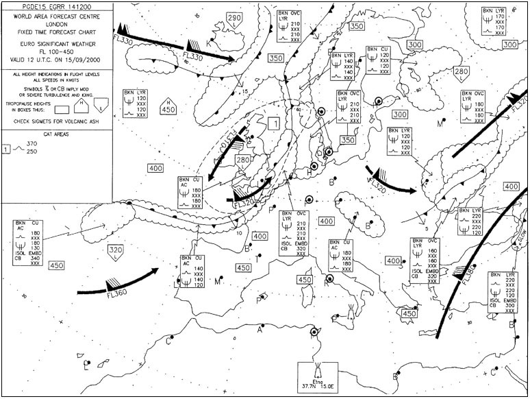
Admin .at fl150 isa = 15°c 2°c x 15 = 15°c.oat is 5°c we are in air mass 10°c warmer than isa .changing subscale from 1013 hpa to 1003 hpa means that indicated altitude on the altimeter will decrease by 270 ft 10 hpa .15000 270 = 14730 ft .temperature correction .4 x 15 x 10 = 600 ft .14730 + 600 = 15330 ft 'plus' 600 ft because air mass is warmer than isa .maxscail .how do you find 4x15x10=600ft is it a formula . . this is the rule of thumb formula called the '4% rule' .the altitude/height changes by 4% for each 10°c temperature deviation from isa .this is an official formula given by easa for altitude/height calculations at the exam exemple 307 15 300 ft.15 300 ft.

An aircraft takes off from the aerodrome of brioude altitude 1483 ft qfe = 963 ?

Question 171-11 : 6 500 ft 6 800 ft 3 500 ft 4 000 ft
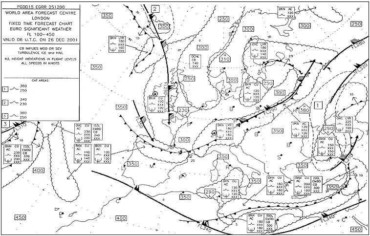
Admin .difference between 963 hpa and 1013 hpa is 50 hpa 50 hpa x 30 ft/hpa = 1500 ft .5000 + 1500 = 6500 ft .your altimeter indicates your pressure altitude not your true altitude this is the reason why we do not correct the temperature we only want to know the reading of the altimeter .note 061 general navigation learning objectives states for questions involving height calculation 30 ft/hpa is to be used unless another figure is specified in the question exemple 311 6 500 ft.6 500 ft.

Given .distance a to b is 360 nm .wind component a b is 15 kt wind component b ?

Question 171-12 : 165 nm 195 nm 180 nm 170 nm
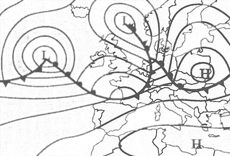
Babar350 .e*o*h / o+h ..e endurance.o gs outnbound.h gs inbound..e = distance * o..eoh/ o+h = 2 18*165*195/ 360 is giving distance from etp from a 195 nm .the question is etp from b so 360 195 = 165 nm exemple 315 165 nm.165 nm.

Given .half way between two reporting points the navigation log gives the ?

Question 171-13 : 403 kt 354 kt 373 kt 360 kt
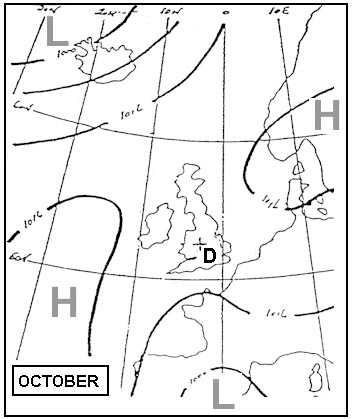
Admin .first step find the true heading .237° 5° deviation on this heading = magnetic heading 232°.232° 19° variation west = true heading 213°.put 360 kt in center dot under index set true heading 213° on the rotating scale set wind 330°/80kt . 2532.you read a ground speed of 403 kt .the answer will be more accurate on a real computer such as the aviat 617 for example exemple 319 403 kt.403 kt.

Given .an aircraft is on final approach to runway 32r 322° .the wind velocity ?

Question 171-14 : 328° 322° 316° 326°
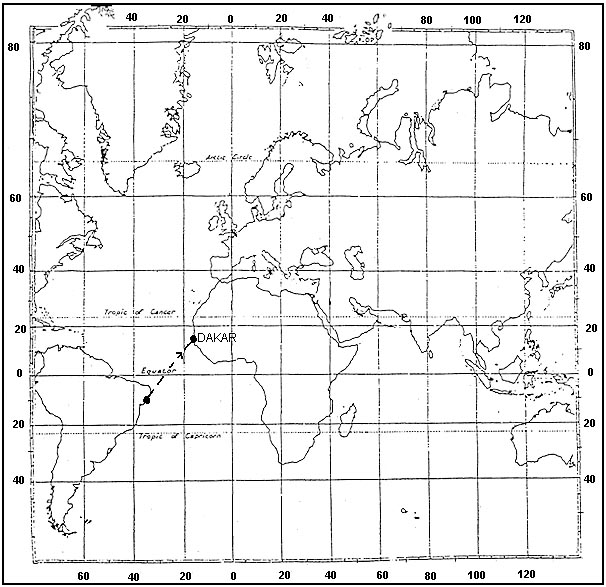
Babar350 .maximum drift 60/95 x 20 = 12 63.actual drift max drift x sin 350 322 = 12 63 x sin 28 = 5 92°.mainting centre line is 322°+5 92 = 328° exemple 323 328°.328°.

An aircraft takes off from an airport 2 hours before sunset the pilot flies a ?

Question 171-15 : 97 nm 115 nm 105 nm 84 nm
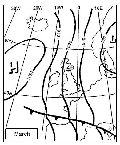
Admin .resolve this question as a point of safe return question .point of safe return psr = endurance x homeward gs / outbound gs + homeward gs .outbound gs on the computer .when you start with a track under index you must first apply drift before read the ground speed . 1944.drift=8° left .set heading 098° 090° + 8° under index read outbound gs 86 kt .proceed on the same way to finde homeward gs 116 kt ..point of safe return psr = 2h x 116 / 86 + 116 .point of safe return psr = 1 148 h .1 148 x 86 kt = 98 7 nm exemple 327 97 nm.97 nm.

From the departure point the distance to the point of equal time is ?

Question 171-16 : Inversely proportional to the sum of ground speed out and ground speed back proportional to the sum of ground speed out and ground speed back inversely proportional to the total distance to go inversely proportional to ground speed back
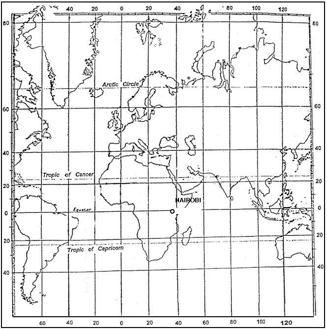
.distance to the point of equal time = d x gsh/ gso + gsh .where .d = distance between departure and arrival .gso = ground speed out .gsh = ground speed home exemple 331 Inversely proportional to the sum of ground speed out and ground speed back.Inversely proportional to the sum of ground speed out and ground speed back.

Given .required course 045° m .variation is 15°e.w/v is 190° t /30 kt.cas is ?

Question 171-17 : 055° and 147 kt 036° and 151 kt 052° and 154 kt 056° and 137 kt
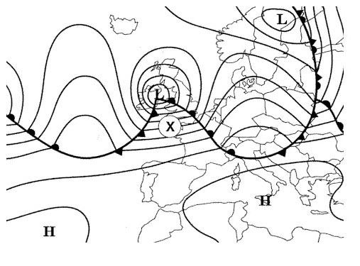
Admin .at flight level 55 temperature in standard atmosphere is .15° 2° x 5 5 = 4°c.on the computer in airspeed window put 4ºc next to fl55 go to cas 120 kt on inner scale and read tas on outer scale 131 kt .now centre dot on tas 131 kt under true index put 190° wind direction and mark wind speed 30 kt below at 101 kt .then rotate to put true track 060° 045° + variation east under true index drift is 9° left it means that on this heading 060° the aircraft would be on a true track of 051° .rotate to put true track 060° under drift and note that drift has changed to 10° left as we turn the drift changes and on a heading of 070° we will have a 10° left drift .magnetic heading = 070° minus variation east = 055° .ground speed is under wind mark 147 kt exemple 335 055° and 147 kt.055° and 147 kt.

Given .airport elevation is 1000 ft .qnh is 988 hpa .what is the approximate ?

Question 171-18 : 1750 ft 320 ft 320 ft 680 ft
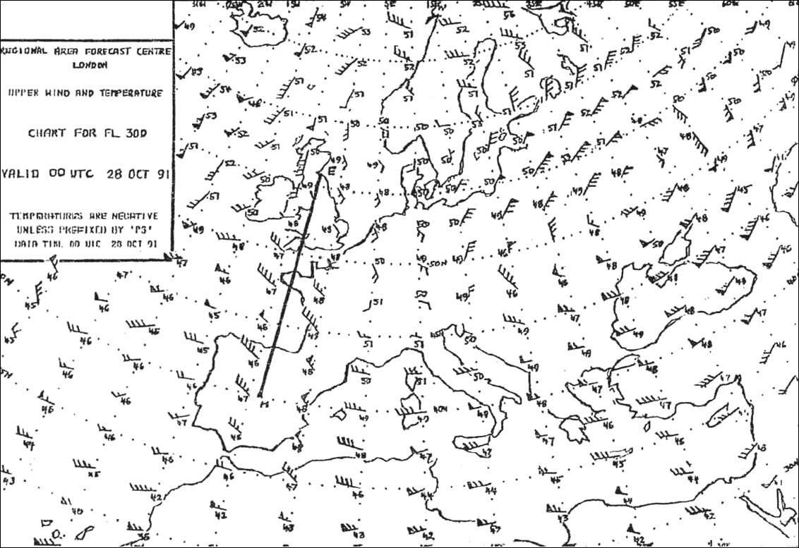
Admin .1013 988 = 25 hpa.25 hpa x 30 ft = 750 ft.1000 + 750 = 1750 ft exemple 339 1750 ft.1750 ft.

Given .true altitude 9000 ft.oat 32°c.cas 200 kt.the true air speed tas is ?

Question 171-19 : 220 kt 215 kt 200 kt 210 kt
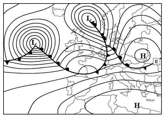
Admin .you have first to convert true altitude in pressure altitude .you can use either the computer or with the following rule of thumb called the '4% rule' .the altitude/height changes by 4% for each 10°c temperature deviation from isa .deviation from isa = 15°c 2 x 9 = 3°c. 3°c to 32°c = 29°c we are in isa 29°c .4% x 9 x 29 = 1044 ft.pressure altitude = 9000 + 1044 = 10044 ft 10000 ft .now in the airspeed window set 29°c in front of 10000 ft pressure alitude . 2523.read cas 200 kt on inner scale and corresponding tas 220 kt on outer scale exemple 343 220 kt.220 kt.

Given .course 040° t tas is 120 kt wind speed 30 kt .maximum drift angle will ?

Question 171-20 : 130° 145° 115° 120°
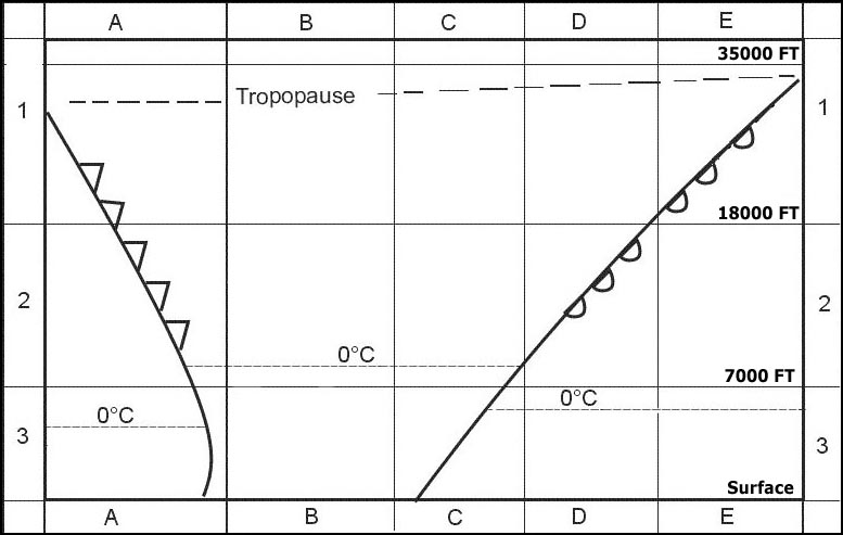
Admin .maximum drift is obtained when the wind is at a right angle from our course .040° + 90° = 130° .or.040° 90° = 310° exemple 347 130°.130°.

Given .cas 120 kt fl 80 oat +20°c .what is the tas ?

Question 171-21 : 141 kt 132 kt 120 kt 102 kt
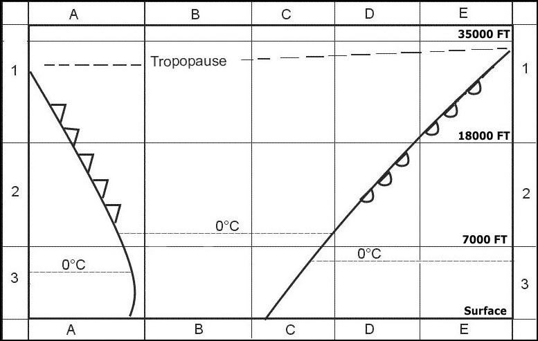
Admin .in airspeed window set tempertaure +20° in front of pressure altitude fl80.on the outside scale in front of cas 120 kt you read tas=141 kt . 2533.cas = ias + correction for position and instrument error .instrument error is an eventual error of the airspeed indicator itself .position error is the error produced from the airflow around the static port wherever that is located and around the probe .at low speed we consider cas = ias exemple 351 141 kt.141 kt.

Route 'a' 44°n 026°e to 'b' 46°n 024°e forms an angle of 35° with ?

Question 171-22 : 322° 328° 032° 038°
.draw the situation . /com en/com061 399 jpg.initial true track from a to b will be 360° 35° = 325° .variation 3°e 325° 3° = 322° . variation west magnetic best variation east magnetic least exemple 355 322°.322°.

Given .compass heading 090° deviation 2°w variation 12°e tas 160 kt .whilst ?

Question 171-23 : 160°/50 kt 340°/25 kt 340°/98 kt 155°/25 kt
.first step search for the ground speed .14 nm in 6 minutes = 14/6 x60 = 140 kt .next step calculate drift . /com en/com061 484a jpg.drift x is 18° left 100° 082° .put 160 kt tas on center dot under true index set 100° heading . /com en/com061 484 jpg.where the ground speed crosses the 18° left drift line you read on the red scale a wind coming from 160° for 50 kt exemple 359 160°/50 kt.160°/50 kt.

Given .m 0 80 oat 50°c fl 330 gs 490 kt variation 20°w magnetic heading 140° ?

Question 171-24 : 020°/95 kt 025°/47 kt 200°/95 kt 025°/45 kt
Admin . 2064.tas is 462 kt .magnetic heading 140° variation 20°w = true heading 120° . 2061.read wind direction and force on the rotative scale exemple 363 020°/95 kt.020°/95 kt.

Given pressure altitude 29000 ft oat 55°c calculate the density altitude ?

Question 171-25 : 27500 ft 31000 ft 33500 ft 26000 ft
. /com en/com061 486 jpg. exemple 367 27500 ft.27500 ft.

An aircraft is flying at fl180 and the outside air temperature is 30°c if the ?

Question 171-26 : 195 kt 115 kt 180 kt 145 kt
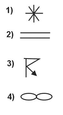
Admin .in airspeed window put 30°c next to fl180 . 2056.in front of 150 kt on the inner scale read the tas 195 kt on the outer scale exemple 371 195 kt.195 kt.

Calibrated airspeed cas is indicated airspeed ias corrected for ?

Question 171-27 : Instrument error and position error temperature and pressure error compressibility error density

exemple 375 Instrument error and position error.Instrument error and position error.

An aircraft was over 'q' at 1320 hours flying direct to 'r' .given .distance ?

Question 171-28 : 2290 nm 2370 nm 1310 nm 1510 nm
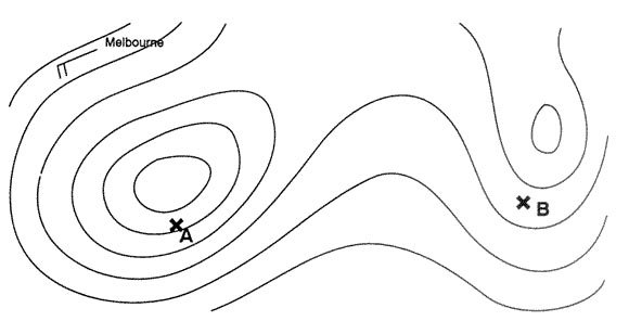
Point of safe return psr = endurance x homeward gs / outbound gs + homeward gs .ground speed out = 480 90 = 390 kt.ground speed home = 480 + 75 = 555 kt.point of safe return psr = 10 x 555 / 390 + 555 .point of safe return psr = 5555 / 945.point of safe return psr = 5 878h.distance of the psr from the departure point at a speed of 390 kt .5 878h x 390 = 2292 nm exemple 379 2290 nm.2290 nm.

An aircraft is flying at fl150 with an outside air temperature of 30° above an ?

Question 171-29 : 13 660 ft 14 120 ft 17 160 ft 15 210 ft
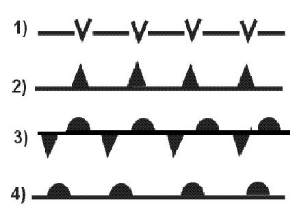
Admin .you have to turn your altimeter subscale setting knob counterclockwise from 1013 to 993 .indicated altitude will be decreased by 20 hpa x 30 ft = 600 ft .15000 600 = 14400 ft .now we must correct for temperature .outside temperature is 30°c at fl150 .isa at fl150 is 15°c 15 x 2°c = 15°c .we are in isa 15°c .you can use either the computer or with the following rule of thumb called the '4% rule' .the altitude/height changes by 4% for each 10°c temperature deviation from isa .an altimeter set to airport qnh will read correctly when on the ground at the airport irrespective of temperature .any temperature error therefore occurs due to non isa temperature in the layer of atmosphere between airport elevation and aircraft in flight .therefore .14400 1660 = 12740 ft.12740 x 0 04 x 1 5 = 764 ft .14400 764 = 13636 ft exemple 383 13 660 ft.13 660 ft.

Given .true track 239°.true heading 229°.tas 555 kt.g/s 577 kt.calculate the ?

Question 171-30 : 130°/100 kt 310°/100 kt 300°/100 kt 165°/100 kt
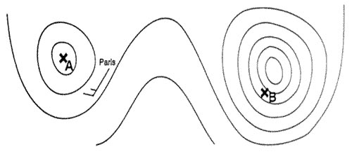
Admin .229° to true index.555 kt to center bore.with a true headin of 229° and a true track of 239° we have 10° right drift .pencil mark the intersection of the 10° right drift with the ground speed arc 577 kt . 2053.read the wind speed and wind direction 130°/100 kt exemple 387 130°/100 kt.130°/100 kt.

Given .true track 245°.drift 5° right.variation 3°e.compass heading 242° ?

Question 171-31 : 5°w 1°e 5°e 11°e
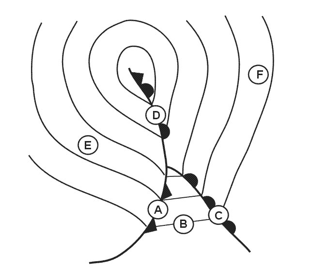
Admin . 2050.use this wonderful table for those questions exemple 391 5°w.5°w.

Given .true heading 090°.tas 180 kt.gs 180 kt.drift 5° right.the wind is ?

Question 171-32 : 005° / 15 kt 190° / 15 kt 355° / 15 kt 185° / 15 kt
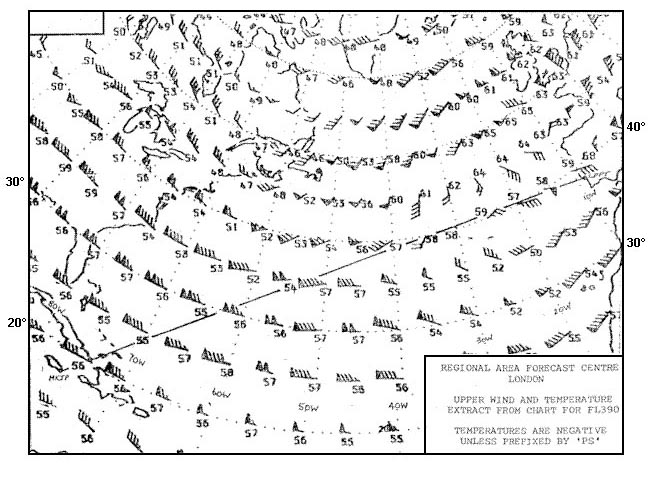
Admin .set heading 090° undex index center dot on tas 180 kt . 2047.where right drift 5° crosses ground speed arc 180 kt read wind on the rotating scale 005°/15kt exemple 395 005° / 15 kt.005° / 15 kt.

Given .magnetic heading = 255°.variation = 40°w.gs = 375 kt.w/v = 235° t / ?

Question 171-33 : 6° left 3° right 6° right 9° left
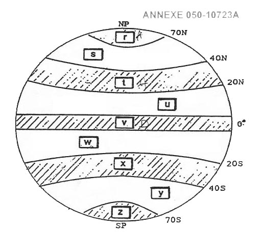
Admin .the wind is coming in front of us our true air speed will be more than 375 kt .set wind index under true index and set 400 kt for example in center dot mark wind at 120 kt below the center dot on the rotating indicator. 2048.turn to put heading 215° 255° 40° under true index . 2046.shift the speed arc under the wind speed mark drift is 6° left and you also notice a tas of 490 kt . 2045 exemple 399 6° left.6° left.

Given .true track = 095° tas = 160 kt true heading = 087° gs = 130 kt ?

Question 171-34 : 057°/36 kt 237°/36 kt 307°/36 kt 124°/36 kt
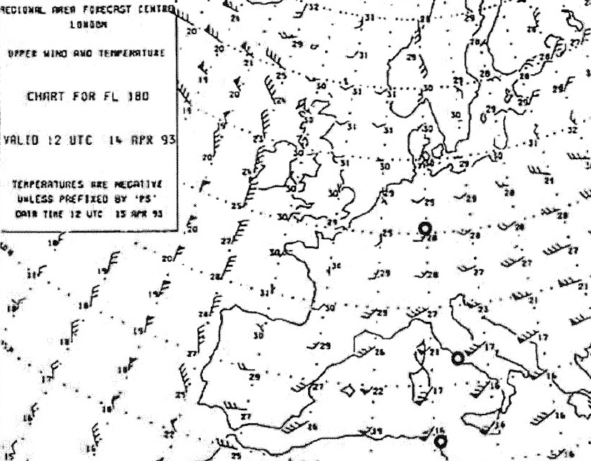
exemple 403 057°/36 kt.057°/36 kt.

Given .true track 245°.drift 5° right.variation 3°e.compass heading 242° ?

Question 171-35 : 237° 243° 247° 253°
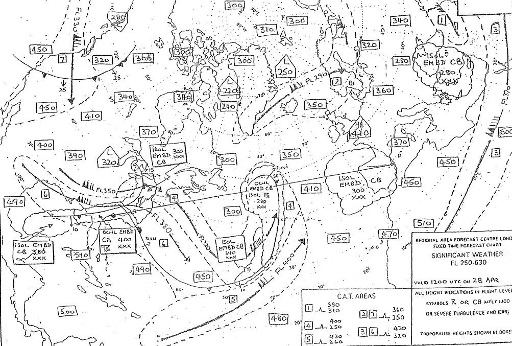
Admin . 2043.use this wonderful table for those questions .note compass heading 242° is given for nothing exemple 407 237°.237°.

Given .heading 265°.tas 290 kt.wind 210°/35 kt.calculate track and groundspeed ?

Question 171-36 : 271° and 272 kt 259° and 305 kt 260° and 315 kt 259° and 272 kt
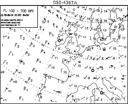
Admin .center dot on tas 290 kt .true heading 265° under index.put wind direction under the red compass rose under 35 kt your drift is 6° right giving a track of 271° and a groundspeed under the wind mark of 272 kt . 2036 exemple 411 271° and 272 kt.271° and 272 kt.

An aircraft is flying at fl 200 oat is 0°c .when the actual air pressure on an ?

Question 171-37 : 21 200 ft 20 700 ft 19 300 ft 20 200 ft
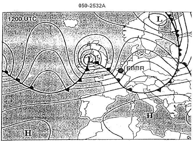
Admin .isa at fl200 is 15°c 2°c x 20 = 25°c.oat is 0°c we are in isa +25°c .you can use either the computer or with the following rule of thumb called the '4% rule' .the altitude/height changes by 4% for each 10°c temperature deviation from isa .0 04 x 19300 x 2 5 = 1930 ft .true altitude = 19300 + 1930 = 21230 ft exemple 415 21 200 ft.21 200 ft.

An aircraft must fly 2000 ft above an obstacle of which the elevation is 13 600 ?

Question 171-38 : 17 400 ft 14 080 ft 15 600 ft 19 400 ft
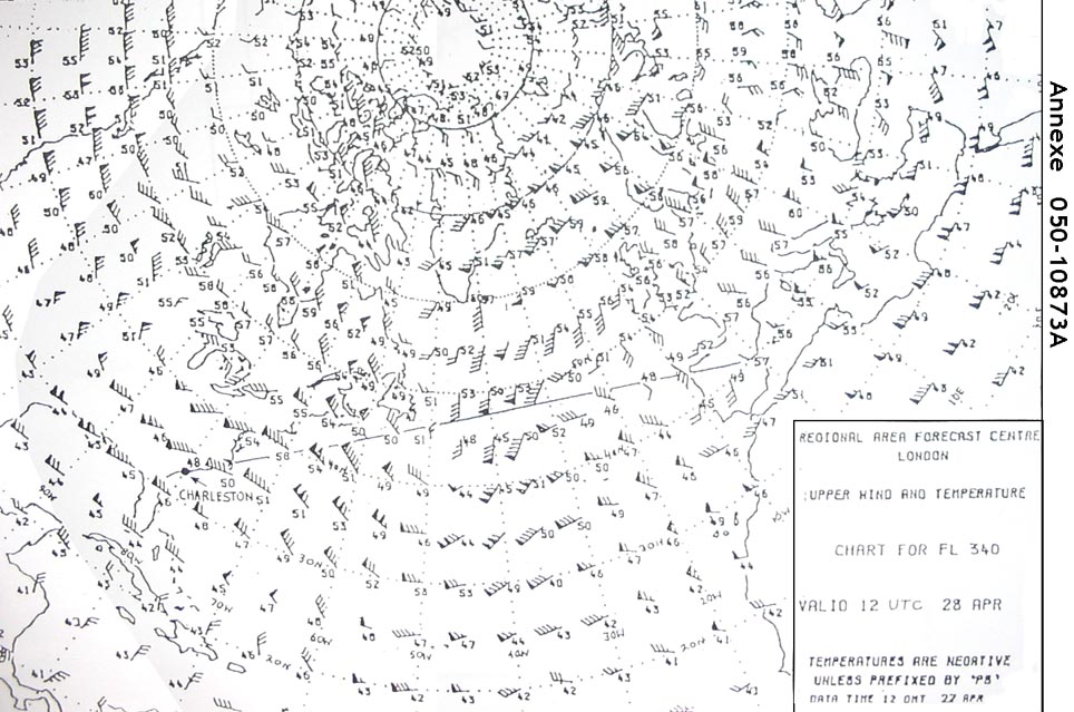
.the aircraft must be at a true height above the airfield of 13600 + 2000 1500 = 14100 ft ..at the airfield isa temperature is 15°c 1 5 x2°c = 12°c .temperature is report to be 20°c so we are in isa 32°c.temperature correction formula 4° x 14 1 x 32° = 1805 ft..the minimum height above the airfield is 14100 + 1805 ft = 15905 ft .now adding the 1500 ft of the airfield to have an altitude 15905 + 1500 = 17405 ft ...note qnh is calculated from the qfe reduced to mean sea level msl assuming isa conditions there is no temperature error between airfield elevation qfe and mean sea level msl exemple 419 17 400 ft.17 400 ft.

Consider the following factors that determine the accuracy of a dead rekoning ?

Question 171-39 : 1 2 3 and 4 1 and 2 1 2 and 3 1 2 and 4
exemple 423 1, 2, 3 and 4.1, 2, 3 and 4.

An aircraft is flying at fl100 .the oat = isa 15°c the qnh given by a station ?

Question 171-40 : 10 200 ft 10 000 ft 9 600 ft 7 200 ft

Admin .note 061 general navigation learning objectives states . for questions involving height calculation 30 ft/hpa is to be used unless another figure is specified in the question .you have to turn your altimeter subscale setting knob clockwise from 1013 to 1035 .indicated altitude will be increased by 22 hpa x 30 ft = 660 ft.10000 + 660 = 10660 ft .we now have to correct the temperature above the station .you can use either the computer or with the following rule of thumb called the '4% rule' .the altitude/height changes by 4% for each 10°c temperature deviation from isa .4 ft x 10660 3000 /1000 x 15 = 460 ft.true altitude = 10660 460 = 10200 ft exemple 427 10 200 ft.10 200 ft.


~

Exclusive rights reserved. Reproduction prohibited under penalty of prosecution.

6799 Free Training Exam