Question 98-1 : Calculate the one engine failed climb gradient of a four engine aeroplane given the following information .aeroplane mass 358000 kg.thrust per engine 245000 n.drag 455000 n. assume the acceleration due to gravity is 10 m/s² ? [ Validation Marking ]
7 8 %
Question 98-2 : For jet propelled aeroplanes the maximum endurance speed corresponds with the ?
Question 98-3 : Complete the following statement regarding the take off performance of an aeroplane in performance.class a .following an engine failure at i and allowing for a reaction time of ii a correctly loaded aircraft must be capable of decelerating to a halt within the iii ?
Question 98-4 : Performance class a take off .by mistake the take off speed are selected for a lower than actual take off mass as a consequence of this ?
Question 98-5 : A 'balanced field take off' means ?
One engine inoperative asdr = one engine inoperative todr
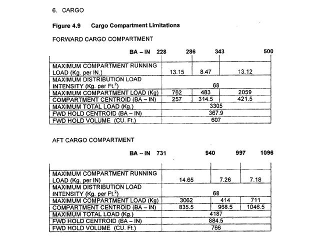
Question 98-6 : The quick turnaround limit weight qtlw is the maximum landing weight for which ?
There is no minimum ground time required with respect to possible fuse plug melting before executing a subsequent takeoff
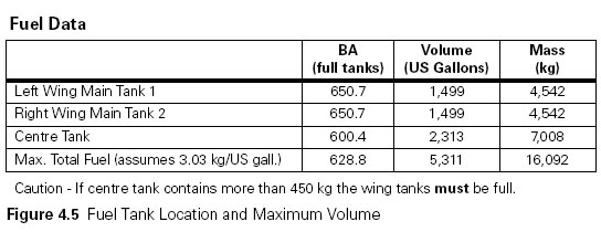
Question 98-7 : The purpose of the 'quick turnaround limits' is to ?
Avoid brake overheat and fuse plug problems that could result from repeated landings at short time intervals or a rejected takeoff
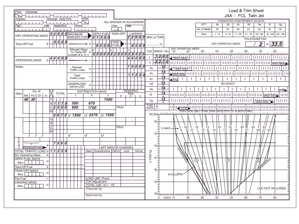
Question 98-8 : Is credit given for the use of reverse thrust in a rejected take off on a dry runway ?
Question 98-9 : What is the one second interval for in the engine failure at take off ?
Question 98-10 : If the v1 and field length limited take off mass flltom have been calculated using the balanced field technique what will be the influence on v1 and the flltom if the stopway is increased ?
V1 increases flltom increases
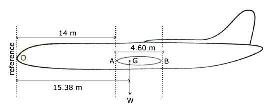
Question 98-11 : Flying vfr from peiting 47°48 0'n 010°55 5'e to immenstadt 47°33 5'n 010°13 0'e determine the distance . 2440 ?
Question 98-12 : Flying from edpj laichingen airport 48°30'n 009°38'e to edtm mengen airport 48°03'n 009°22'e .find magnetic course and the distance . 2215 ?
Magnetic course 202° distance 28 nm
Question 98-13 : Aeronautical chart icao 1 500 000 stuttgart no 47/6 or route manual vfr gps chart ed 6 .flying from erbach airport 48°21'n 009°55'e to poltringen airport 48°33'n 008°57'e .find magnetic course and the distance . 1469 ?
Question 98-14 : Use route manual vfr gps chart ed 6 .flying from edtm mengen airport 48°03'n 009°22'e to edsz rottweil zepfenhan 48°12'n 008°44'e .find magnetic course and the distance . 1470 ?
Magnetic course 288° distance 27 nm
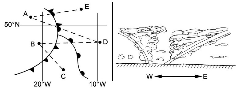
Question 98-15 : Aeronautical chart icao 1/500 000 stuttgart no 47 6 or route manual vfr+gps chart ed 6.flying vfr from peiting 47°48 0'n 010°55 5'e to immenstadt 47°33 5'n 010°13 0'e determine the magnetic course . 2441 ?
Question 98-16 : Use route manual vfr gps chart ed 6 .flying from edsz rottweil zepfenhan 48°12'n 008°44'e to edtm mengen airport 48°03'n 009°22'e .determine the highest obstacle within a corridor 5nm left and 5 nm right of the courseline . 1472 ?
Question 98-17 : For this question use trm vfr directory for greece 7 3 .what is the local time lt in greece in i winter and ii summer . 2442 ?
Question 98-18 : Use route manual vfr gps chart ed 6 .flying from edpj laichingen airport 48°30'n 009°38'e to edsz rottweil zepfenhan 48°12'n 008°44'e .find magnetic course and the distance . 1471 ?
Magnetic course 243° distance 41 nm
Question 98-19 : For this question use trm vfr aberdeen dyce area chart 19 5 .what is the atis frequency that may not be used when in flight . 2443 ?
Question 98-20 : Use route manual vfr gps chart ed 6 .what minimum grid area altitude is applicable for edtm mengen airport 48°03'n 009°22'e . 2164 ?
Question 98-21 : Use trm vfr aberdeen dyce area chart 10 1v .which of the following frequencies is listed as available for contact with aberdeen atsu . 2163 ?
Question 98-22 : Use trm vfr aberdeen dyce area chart 10 1v .what is the correct frequency to contact scottish information when overhead reporting point 'banchory' to the southwest of aberdeen airport . 2162 ?
Question 98-23 : For this question use trm esbjerg aerodrome chart 19 2 .what are the dimensions of runway 08/26 at esbjerg . 2156 ?
Question 98-24 : For this question use trm vfr aberdeen dyce information page 19 6 .what is the designated departure route when using runway 23 in bad weather and/or low visibility . 2184 ?
Question 98-25 : Aeronautical chart icao 1 500 000 stuttgart no 47/6 or route manual vfr+gps chart ed 6.which navigation aid is located in position 48°30'n 007°34'e . 2186 ?
Question 98-26 : Aeronautical chart icao 1/500 000 stuttgart no 47/6 or route manual vfr gps chart ed+6.give the name and frequency of the flight information service for an aircraft at position 47°59'n 010°14'e . 2181 ?
Question 98-27 : Aeronautical chart icao 1/500 000 stuttgart no 47/6 or route manual vfr+gps chart ed 6.which navigation aid is located in position 48°55'n 009°20'e . 2178 ?
Question 98-28 : Aeronautical chart icao 1/500 000 stuttgart no 47 6 or route manual vfr gps chart ed 6 .flying vfr from villingen 48°03 5'n 008°27 0'e to freudenstadt 48°28 0'n 008°24 0'e .determine the magnetic course . 2179 ?
Question 98-29 : Flying vfr from villingen 48°03 5'n 008°27 0'e to freudenstadt 48°28 0'n 008°24 0'e .determine the distance . 2172 ?
Question 98-30 : What are the designated departure routes when using i rwy 34 and ii rwy 05 . 1473 ?
Question 98-31 : Which navigation aid is located in position 48°23'n 008°39'e . 2202 ?
Question 98-32 : What minimum grid area altitude is applicable for edpj laichingen airport 48°30'n 009°38'e . 2197 ?
43 grid
Question 98-33 : For this question use trm vfr directory for netherlands 7 3 .what is the local time lt in the netherlands in i winter and ii summer . 2195 ?
Question 98-34 : Aeronautical chart icao 1 500 000 stuttgart n°47/6 or route manual vfr+gps chart ed 6 .the frequency of zurich volmet is . 1474 ?
Question 98-35 : For this question use trm vfr aberdeen dyce area chart 10 1v .what is the elevation of the highest ground within the boundary of aberdeen control area . 2227 ?
Question 98-36 : Use route manual vfr+gps chart ed 6 .flying from edtm mengen airport 48°03'n 009°22'e to edpj laichingen airport 48°30'n 009°38'e .find magnetic course and the distance . 1475 ?
Question 98-37 : Aeronautical chart icao 1/500 000 stuttgart no 47 6 or route manual vfr gps chart ed 6 .what is elevation of lszh zurich klothen airport 47°28'n 008°33'e . 2336 ?
Question 98-38 : Vfr flights shall not be flown over the congested areas of cities at a height less than ?
1000 ft above the highest obstacle within a radius of 600 m from the aircraft
Question 98-39 : For this question use trm vfr aberdeen dyce information page 19 6 .what is the minimum flight visibility required when landing at aberdeen dyce airport other than when using route h6 . 2353 ?
Question 98-40 : Use route manual vfr+gps chart ed 6 .flying from edsz rottweil zepfenhan 48°12'n 008°44'e to edpj laichingen airport 48°30'n 009°38'e .find magnetic course and the distance . 1476 ?
Magnetic course 063° distance 41 nm
~
Exclusive rights reserved. Reproduction prohibited under penalty of prosecution.
3879 Free Training Exam

