Sign up to unlock all our services and 15164 corrected and explained questions.
Question 99-1 : Flying from position sigmaringen 48°05'n 009°13'e to biberach airport 48°07'n 009°46'e .find magnetic course and the distance . 1477 ? [ Diploma registration ]
Magnetic course 086° distance 22 nm
Question 99-2 : Flying from saulgau airport 48°02'n 009°31'e to altenstadt airport 47°50'n 010°53'e .find magnetic course and the distance . 1478 ?
Question 99-3 : Flying from edtm mengen airport 48°03'n 009°22'e to edpj laichingen airport 48°30'n 009°38'e .determine the highest obstacle within a corridor 5 nm left and 5 nm right of the courseline . 2446 ?
Question 99-4 : Use route manual vfr+gps chart ed 6 .flying from edsz rottweil zepfenhan 48°12'n 008°44'e to edtm mengen airport 48°03'n 009°22'e .find magnetic course and the distance . 1481 ?
Magnetic course 108° distance 27 nm
Question 99-5 : What is the position of the aerodrome reference point at esbjerg . 1461 ?
Question 99-6 : Use trm barcelona area chart 10 1v .the maximum altitude that may be used to transit the whole vfr corridor from reus to san celoni is . 2447 ?
Question 99-7 : For this question use trm vfr aberdeen dyce area chart 10 1v .what is the elevation of the highest obstacle within the boundary of aberdeen control area . 2450 ?
Question 99-8 : For this question use trm vfr aberdeen dyce area chart 19 5 .what atis frequency ies is/are available when on the ground . 2451 ?
Question 99-9 : For this question use trm esbjerg area chart 19 1 .what is the track and distance shown on the chart from vor/dme skr to overhead esbjerg . 2454 ?
Question 99-10 : For this question use trm esbjerg area chart 19 1 .what is the course and distance from locator hp to the threshold of runway 08 . 2455 ?
Question 99-12 : Flying vfr from villingen 48°03 5'n 008°27 0'e to freudenstadt 48°28 0'n 008°24 0'e .determine the minimum altitude within a corridor 5 nm left and 5 nm right of the courseline in order to stay 1000 ft clear of obstacles . 2456 ?
3900 ft
Question 99-13 : What is the position of the aerodrome reference point . 2457 ?
Question 99-14 : An aircraft is flying vfr and approaching position tango vortac 48°37'n 009°16'e at fl 055 and magnetic course 090° distance from vortac tango 20 nm .name the frequency of the tango vortac . 2458 ?
Question 99-15 : For this question use trm de kooy area chart 19 1 .what is the minimum altitude over the 'quiet zone' in the vicinity of de kooy . 1484 ?
Question 99-16 : For this question use trm de kooy area chart 19 1 .what is i the frequency and ii qdm of the ils at de kooy aerodrome . 1484 ?
Question 99-17 : An ifr flight is planned outside airways on a course of 235° magnetic the minimum safe altitude is 7800 ft .knowing the qnh is 995 hpa the temperature is isa the minimum flight level you must fly is ?
100
Question 99-18 : Route manual chart munich ils rwy 26r 11 4 .the ils frequency and identifier are . 1486 ?
Question 99-19 : Route manual star charts for zurich 10 2 .aircraft arriving via route blm 2z only should follow the following route to ekron int . 1489 ?
Question 99-20 : For this question use route manual chart e hi 2 .the identifier of the radio navigation aid at 56°06'n 012°15'e is . err a 033 13 ?
Question 99-21 : Use route manual chart e hi 2 .an aircraft is flying from backa 57°33'n 011°59'e to bottna 57°45'n 013°48'e on airway ur46 which of the following would be a useful cross reference to check the aircraft's position at cindy . err a 033 14 ?
Question 99-22 : Route manual chart e hi 5 caa edition .given leg moulins n46 42 4 e003 38 0 /dijon n47 16 3 e005 05 9 .find .route designator and total distance . err a 033 17 ?
Question 99-23 : Route manual chart e hi 4 .an aeroplane has to fly from abbeville 50°08 1'n 001°51 3'e to biggin 51°19 8'n 00°00 2'e assuming rvsm airspace what is the first fl above fl 295 that can be flown on an ifr flightplan . err a 033 18 ?
Question 99-24 : Use route manual chart e hi 1 .an aircraft is flying northbound on the direct route from dean cross that passes through position 57°00 0'n 003°10 0'w .excluding rvsm what is the first flight level above fl410 that can be used on an ifr flight plan . err a 033 19 ?
Fl450
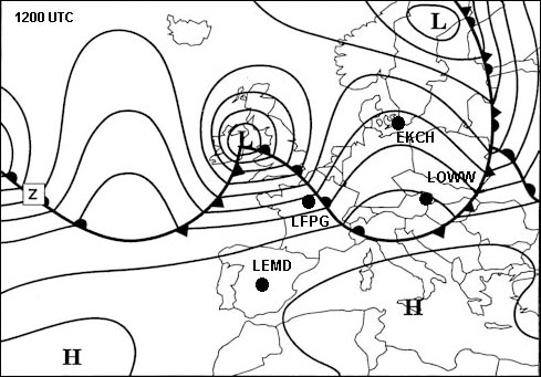
Question 99-25 : Route manual chart zurich ils rwy 16 11 2 .the lowest published authorised rvr for an ils approach glide slope out all other aids serviceable aeroplane category a is . 1487 ?
Question 99-26 : Route manual chart e hi 5 caa edition .the magnetic course/distance from elba elb 114 7 42°44'n 010°24'e to spezi 43°49'n 009°34'e on airway ua35 is . 1488 ?
Question 99-27 : Use route manual chart e hi 1 .the initial magnetic course from inverness 109 2 ins 57°32'n004°03'w direct to tiree 117 7 tir 56°30'n006°53'w is . err a 033 30 ?
Question 99-28 : Route manual chart 5 at hi .the initial great circle course from position a 80°00'n 170°00'e to position b 75°00'n 011°e is 177° g .the final grid course at position b will be . err a 033 36 ?
Question 99-29 : For this question use route manual chart e hi 3 .the radio navigation aid s at 55°59'n 014°06'e is/are . err a 033 39 ?
Question 99-30 : An aeroplane has to fly from abbeville 50°08 1'n 001°51 3'e to biggin 51°19 8'n 00°00 2'e .at biggin you can find 141° .this is . 1490 ?
Question 99-31 : For this question use route manual chart e hi 1.the radio navigation aid s at 57°32'n 004°03'w is/are . err a 033 44 ?
Question 99-32 : Route manual sid chart for amsterdam schiphol 10 3 .which of the following statements is correct for andik departures from runway 19l . 1491 ?
Question 99-33 : Planning an ifr flight from paris to london for the twin jet aeroplane given .gross mass 50000 kg.fl 280.isa deviation 10°c.cruise procedure mach 0 74.determine the tas . 2467 ?
430 kt
Question 99-34 : Route manual chart e hi 5 caa edition .an appropriate flight level for flight on airway ur24 from nantes nts 117 2 47°09'n 001°37'w to caen can 115 4 49°10'n 000°27'w is . err a 033 55 ?
Fl300
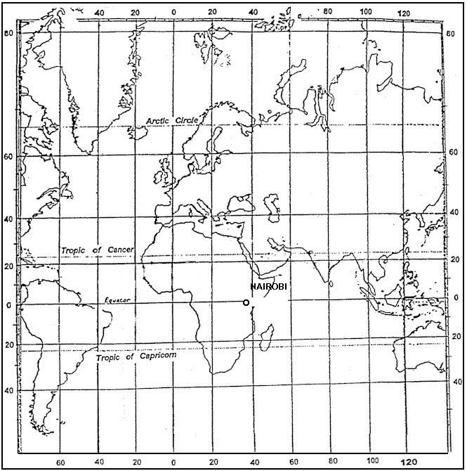
Question 99-35 : Use route manual chart e hi 2 .an aircraft has to fly from aalborg 57°06'n 010°00'e to bottna 57°45'n 013°48'e on airway ur46 .what is the track distance for this flight . err a 033 58 ?
Question 99-36 : For this question use trm athinai hellinikon approach chart 29 1 .what is the published frequency to use for start up . err a 033 59 ?
Question 99-37 : Excluding rvsm an appropriate flight level for ifr flight in accordance with semi circular height rules on a magnetic course of 200° is ?
Question 99-38 : An appropriate flight level for ifr flight in accordance with semi circular height rules on a course of 180° m is ?
Question 99-39 : Route manual chart e lo 5 .the initial magnetic course/distance from eelde eel 112 4 53°10'n 006°40'e to welgo 54°18'n 007°25'e on airway a7 is . err a 033 72 ?
Question 99-40 : Use route manual chart e lo 1 .the magnetic course/distance from pole hill 112 1 pol 53°44'n 002°06'w to talla 113 8 tla 55°30'n 003°21'w on airway b4 is . err a 033 74 ?
~
Exclusive rights reserved. Reproduction prohibited under penalty of prosecution.
3919 Free Training Exam

