A free Premium account on the FCL.055 website! Read here
Sign up to unlock all our services and 15164 corrected and explained questions.
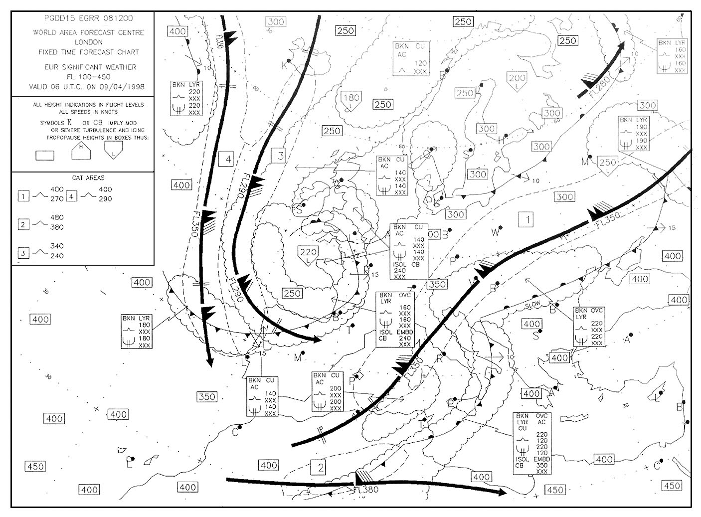
Question 112-1 : For this question use trm vfr aberdeen dyce area chart 19 5 what is the atis frequency that may not be used when in flight 2443 ? [ Training professional ]
12185
Question 112-2 : Use route manual vfr gps chart ed 6what minimum grid area altitude is applicable for edtm mengen airport 48°03'n 009°22'e 2164 ?
46.
1181we are looking for minimum grid area altitude43. 1819 ft. 1120 m.
Question 112-3 : Use trm vfr aberdeen dyce area chart 10 1v which of the following frequencies is listed as available for contact with aberdeen atsu 2163 ?
13517.
126.25 119.87 114.30
Question 112-4 : Use trm vfr aberdeen dyce area chart 10 1v what is the correct frequency to contact scottish information when overhead reporting point 'banchory' to the southwest of aberdeen airport 2162 ?
11987.
126.25 134.10 135.17
Question 112-5 : For this question use trm esbjerg aerodrome chart 19 2 what are the dimensions of runway 0826 at esbjerg 2156 ?
2600m x 45m.
11878530m x 45m. 8530ft x 45ft. 2600ft x 148ft.
Question 112-6 : For this question use trm vfr aberdeen dyce information page 19 6 what is the designated departure route when using runway 23 in bad weather andor low visibility 2184 ?
H6.
In easa database this question is related to both a and h syllabusaberdeen dyce is a large airport vfr or ifr airplane pilots must be able to understand helicopters route to manage their own departure andor arrival 1189H3. h1. h5.
Question 112-7 : Aeronautical chart icao 1 500 000 stuttgart no 476 or route manual vfr+gps chart ed 6which navigation aid is located in position 48°30'n 007°34'e 2186 ?
Vordme.
1191Ndb. vor. tacan.
Question 112-8 : Aeronautical chart icao 1500 000 stuttgart no 476 or route manual vfr gps chart ed+6give the name and frequency of the flight information service for an aircraft at position 47°59'n 010°14'e 2181 ?
Munchen information 12695 mhz.
1195Munchen information 120.65 mhz. frankfurt information 128.95 mhz. memmingen information 122.1 mhz.
Question 112-9 : Aeronautical chart icao 1500 000 stuttgart no 476 or route manual vfr+gps chart ed 6which navigation aid is located in position 48°55'n 009°20'e 2178 ?
Vordme.
1191Ndb. vor. tacan.
Question 112-10 : Aeronautical chart icao 1500 000 stuttgart no 47 6 or route manual vfr gps chart ed 6flying vfr from villingen 48°035'n 008°270'e to freudenstadt 48°280'n 008°240'e determine the magnetic course 2179 ?
356°.
176°. 004°. 185°.
Question 112-11 : Flying vfr from villingen 48°035'n 008°270'e to freudenstadt 48°280'n 008°240'e determine the distance 2172 ?
24 nm.
2444report the track distance along the meridian count the intervals one nautical mile per intervalminute 46 nm. 28 nm. 24 km.
Question 112-12 : What are the designated departure routes when using i rwy 34 and ii rwy 05 1473 ?
I h2 ii h4.
In easa database this question is related to both a and h syllabusaberdeen dyce is a large airport vfr or ifr airplane pilots must be able to understand helicopters route to manage their own departure andor arrival(i) h6 (ii) h2 (i) h1 (ii) h3 (i) h5 (ii) h1
Question 112-13 : Which navigation aid is located in position 48°23'n 008°39'e 2202 ?
Vor.
1191Ndb. vor/dme. vortac.
Question 112-14 : What minimum grid area altitude is applicable for edpj laichingen airport 48°30'n 009°38'e 2197 ?
43 grid.
1206minimum grid area altitude applicable for edpj is 43 4300 ft this large number is your grid minimum off route altitude grid mora it is possible to fly direct from some places to another and grid mora helps to determine the lowest altitude it is safe to fly in the square delimited by the crosses46 grid. 2434 ft. 402 m.
Question 112-15 : For this question use trm vfr directory for netherlands 7 3 what is the local time lt in the netherlands in i winter and ii summer 2195 ?
I lt 1 hour = utc ii lt 2 hours = utc.
In winter when it's 1000lt it's 0900 utc(i) lt - 2 hours = utc (ii) lt - 1 hour = utc. (i) lt = utc + 2 hours (ii) lt = utc + 1 hour. (i) lt = utc - 1 hour (ii) lt = utc - 2 hours.
Question 112-16 : Aeronautical chart icao 1 500 000 stuttgart n°476 or route manual vfr+gps chart ed 6the frequency of zurich volmet is 1474 ?
12720 mhz.
Do not confuse megahertz and kilohertz127.20 khz. 128.52 mhz. 128.52 khz.
Question 112-17 : For this question use trm vfr aberdeen dyce area chart 10 1v what is the elevation of the highest ground within the boundary of aberdeen control area 2227 ?
1733 ft.
1222we can see 1933 ft in cta aberdeen 3 as the highest ground elevation but since this answer is not offered we understand that they only talk about cta aberdeen 1 take care this question looks similar to an other but for this one they ask for highest ground instead of highest obstacle 1245 ft. 2105 ft. 2025 ft.
Question 112-18 : Use route manual vfr+gps chart ed 6 flying from edtm mengen airport 48°03'n 009°22'e to edpj laichingen airport 48°30'n 009°38'e find magnetic course and the distance 1475 ?
Magnetic course 022° distance 28 nm.
1142center your protractor over mengen airport you find a magnetic course of 022°report the track distance along the meridian count the intervals one nautical mile per intervalminute Magnetic course 202°, distance 28 nm magnetic course 022°, distance 44 nm magnetic course 202°, distance 44 nm
Question 112-19 : Aeronautical chart icao 1500 000 stuttgart no 47 6 or route manual vfr gps chart ed 6what is elevation of lszh zurich klothen airport 47°28'n 008°33'e 2336 ?
1416 ft.
13071000 m. 1421 ft. 1572 ft.
Question 112-20 : Vfr flights shall not be flown over the congested areas of cities at a height less than ?
1000 ft above the highest obstacle within a radius of 600 m from the aircraft.
Icao annex 2 except when necessary for take off or landing or except by permission from the competent authority a vfr flight shall not be flown a over the congested areas of cities towns or settlements or over an open air assembly of persons at a height less than 300 m 1 000 ft above the highest obstacle within a radius of 600 m from the aircraft b elsewhere at a height less than 150 m 500 ft above the ground or water2000 ft above the highest obstacle within a radius of 600 ft from the aircraft. 500 ft above the highest obstacle. the highest obstacle.
Question 112-21 : For this question use trm vfr aberdeen dyce information page 19 6 what is the minimum flight visibility required when landing at aberdeen dyce airport other than when using route h6 2353 ?
2 km.
1330in the aberdeen ctr other than route h6 minimum flight visibility is 3 kmbut when routeing over taking off from or landing at aberdeen minimum flight visibility is 2 km3 km. 4 km. 5 km.
Question 112-22 : Use route manual vfr+gps chart ed 6flying from edsz rottweil zepfenhan 48°12'n 008°44'e to edpj laichingen airport 48°30'n 009°38'e find magnetic course and the distance 1476 ?
Magnetic course 063° distance 41 nm.
1172center your protractor over zepfenhan airport you find a magnetic course of 063°distance calculation report the track distance along the mean latitude 48°20 the lenght is 62' 1°02' at the equator 62 minutes = 62 nmat latitude 4833° 48°20' 62' x cos4833 = 41 nmMagnetic course 243°, distance 41 nm. magnetic course 063°, distance 62 nm. magnetic course 243°, distance 62 nm.
Question 112-23 : Flying from position sigmaringen 48°05'n 009°13'e to biberach airport 48°07'n 009°46'e find magnetic course and the distance 1477 ?
Magnetic course 086° distance 22 nm.
From sigmaringen to biberach magnetic course is 086° 1335center your protractor over sigmaringen use mengen magnetic north indication report magnetic north over sigmaringen position you read 086°to find the distance at the equator 1° = 60 minutes = 60 nmdistance between the two points is 009°13'e to 009°46'e = 33 minutescos48° x 33 = 22 nmMagnetic course 267°, distance 22 nm. magnetic course 086°, distance 32 nm. magnetic course 093°, distance 41 nm.
Question 112-24 : Flying from saulgau airport 48°02'n 009°31'e to altenstadt airport 47°50'n 010°53'e find magnetic course and the distance 1478 ?
Magnetic course 102° distance 56 nm.
Report the magnetic north tick from kempten vor center your protractor over saulgau read a magnetic course of 102° 1479longitude difference is 137° between saulgau and altenstadt mean latitude is 4793° 47°56' 137 x 60 x cos4793 = 55 nmMagnetic course 102°, distance 82 nm magnetic course 078°, distance 82 nm magnetic course 282°, distance 56 nm
Question 112-25 : Flying from edtm mengen airport 48°03'n 009°22'e to edpj laichingen airport 48°30'n 009°38'e determine the highest obstacle within a corridor 5 nm left and 5 nm right of the courseline 2446 ?
2870 ft.
24452838 ft. 2120 ft. 2507 ft.
Question 112-26 : Use route manual vfr+gps chart ed 6flying from edsz rottweil zepfenhan 48°12'n 008°44'e to edtm mengen airport 48°03'n 009°22'e find magnetic course and the distance 1481 ?
Magnetic course 108° distance 27 nm.
Report the magnetic north tick from mengen vor at mid distance between the two airports center your protractor and read a magnetic course of 108° 1480longitude difference is 0633° between mengen and rottweil zepfenhan mean latitude is 4815° 48°09' 0633 x 60 x cos4815 = 26 nmMagnetic course 288°, distance 27 nm magnetic course 108°, distance 40 nm magnetic course 288°, distance 40 nm
Question 112-27 : What is the position of the aerodrome reference point at esbjerg 1461 ?
Question 112-28 : Use trm barcelona area chart 10 1vthe maximum altitude that may be used to transit the whole vfr corridor from reus to san celoni is 2447 ?
2000 ft.
2448the maximum altitude that may be used on the whole transit from reus to san celoni is 2000 ft since the first part of the transit from reus to vilafranca del penedes is limited to max 2000 ft3000 ft. 4500 ft. 3500 ft.
Question 112-29 : For this question use trm vfr aberdeen dyce area chart 10 1v what is the elevation of the highest obstacle within the boundary of aberdeen control area 2450 ?
2105 ft.
2449on the chart the elevation of the highest point natural terrain or man made is boxed1245 ft. 2025 ft. 1733 ft.
Question 112-30 : For this question use trm vfr aberdeen dyce area chart 19 5 what atis frequency ies isare available when on the ground 2451 ?
11430 or 12185 mhz.
2452121.85 mhz only. 121.70 mhz only. 121.70 or 121.85 mhz.
Question 112-31 : For this question use trm esbjerg area chart 19 1 what is the track and distance shown on the chart from vordme skr to overhead esbjerg 2454 ?
308° m 29 nm.
2453vor radials are referenced to magnetic north308° (m) / 29 km. 308° (t) / 29 nm. 308° (t) / 29 km.
Question 112-32 : For this question use trm esbjerg area chart 19 1 what is the course and distance from locator hp to the threshold of runway 08 2455 ?
080° m 42 nm.
080° (t) / 4.2 nm 080° (m) / 4.2 km 080° (t) / 4.2 km
Question 112-33 : Give the frequency of stuttgart atis 1482 ?
12612 mhz.
1483126.12 khz. 128.95 mhz. 128.95 khz.
Question 112-34 : Flying vfr from villingen 48°035'n 008°270'e to freudenstadt 48°280'n 008°240'e determine the minimum altitude within a corridor 5 nm left and 5 nm right of the courseline in order to stay 1000 ft clear of obstacles 2456 ?
3900 ft.
2459close to villingen an antenna is 2849 ft high to stay 1000 ft clear of obstacles we should fly at 3900 ft4200 ft. 1500 ft. 2900 ft.
Question 112-35 : What is the position of the aerodrome reference point 2457 ?
37°538'n 23°437'e.
Greece is located east of greenwich meridian in northern hemisphere 2460 arp aerodrome reference point37°54.2'n 23°44.3'e. 37°53.2'n 23°43.3'e. 37°54.8'n 23°44.7'e.
Question 112-36 : An aircraft is flying vfr and approaching position tango vortac 48°37'n 009°16'e at fl 055 and magnetic course 090° distance from vortac tango 20 nmname the frequency of the tango vortac 2458 ?
11250 mhz.
422 khz. 118.60 mhz. 118.80 mhz.
Question 112-37 : For this question use trm de kooy area chart 19 1 what is the minimum altitude over the 'quiet zone' in the vicinity of de kooy 1484 ?
1500 ft.
3500 ft. 3000 ft. 32800 ft.
Question 112-38 : For this question use trm de kooy area chart 19 1 what is i the frequency and ii qdm of the ils at de kooy aerodrome 1484 ?
I 10970 ii 216°m.
Img1485(i) 123.30 (ii) 220°m. (i) 109.70 (ii) 214°t. (i) 123.30 (ii) 220°t.
Question 112-39 : An ifr flight is planned outside airways on a course of 235° magnetic the minimum safe altitude is 7800 ftknowing the qnh is 995 hpa the temperature is isa the minimum flight level you must fly is ?
100.
1013 995 = 18 hpait means that if while flying at 7800 ft with a subscale of 1013 hpa you change for a subscale of 995 hpa your indicated altitude will decreased by 504 ft 18 hpa x 28fthpa to remain at least at the minimum safe altitude you have to fly at 7800 + 504 = 8304 ftat magnetic heading of 235° according with semi circular height rules you must have an even flight level the first one is fl10090. 85. 80.
Question 112-40 : Route manual chart munich ils rwy 26r 11 4 the ils frequency and identifier are 1486 ?
1087 imnw.
108.7 imsw. 108.3 imnw. 108.3 imsw.
Exclusive rights reserved. Reproduction prohibited under penalty of prosecution.