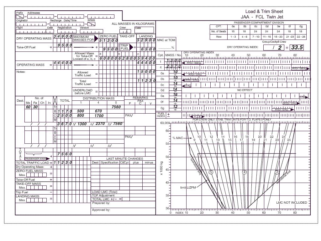
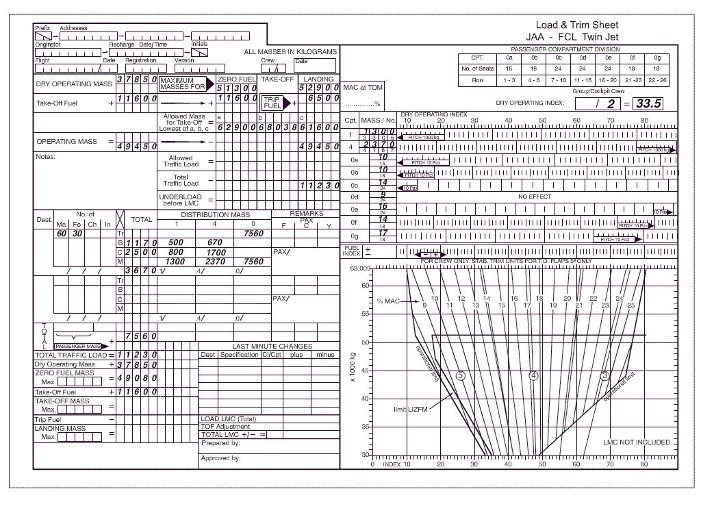
If the v1 and field length limited take off mass flltom have been calculated ? [ Answer reports ]
Question 91-1 : V1 increases flltom increases v1 increases flltom remains constant v1 decreases flltom increases v1 increases flltom decreases
 V1 increases, flltom increases.
 Flying vfr from peiting 47°48 0'n 010°55 5'e to immenstadt 47°33 5'n ?
Question 91-2 : 32 nm 46 nm 58 nm 36 nm
 32 nm.
 Flying from edpj laichingen airport 48°30'n 009°38'e to edtm mengen airport ?
Question 91-3 : Magnetic course 202° distance 28 nm magnetic course 022° distance 28 nm magnetic course 022° distance 44 nm magnetic course 202° distance 44 nm
 Magnetic course 202°, distance 28 nm.
 Aeronautical chart icao 1 500 000 stuttgart no 47/6 or route manual vfr gps ?
Question 91-4 : Magnetic course 287° distance 41 nm magnetic course 287° distance 60 nm magnetic course 252° distance 41 nm magnetic course 108° distance 60 nm
 Magnetic course 287°, distance 41 nm.
 Use route manual vfr gps chart ed 6 .flying from edtm mengen airport 48°03'n ?
Question 91-5 : Magnetic course 288° distance 27 nm magnetic course 108° distance 27 nm magnetic course 108° distance 40 nm magnetic course 288° distance 40 nm
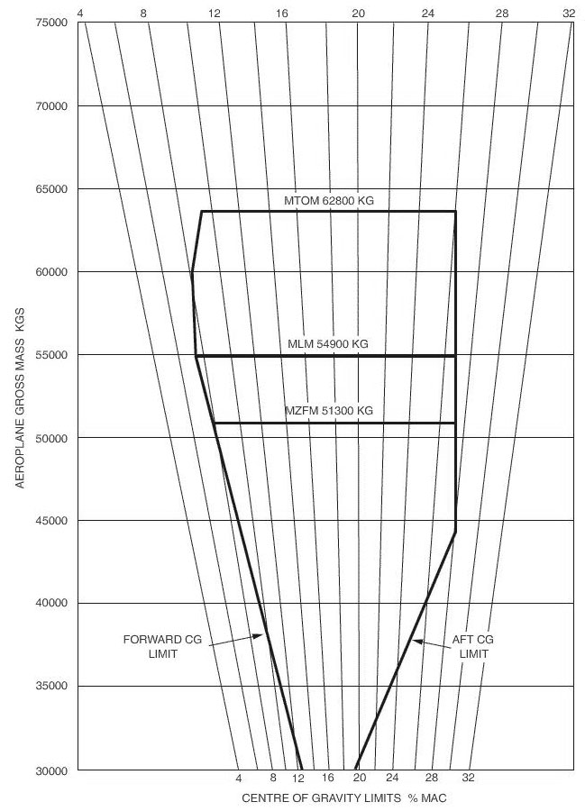 Magnetic course 288°, distance 27 nm.
 Aeronautical chart icao 1/500 000 stuttgart no 47 6 or route manual vfr+gps ?
Question 91-6 : 243° 257° 077° 063°
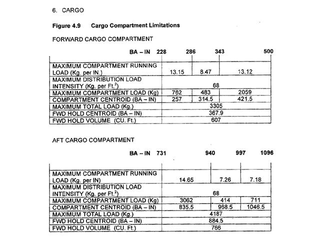 243°.
243°. Use route manual vfr gps chart ed 6 .flying from edsz rottweil zepfenhan ?
Question 91-7 : 3760 ft 2605 ft 2920 ft 3331 ft
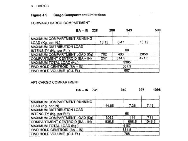 3760 ft.
 For this question use trm vfr directory for greece 7 3 .what is the local time ?
Question 91-8 : I lt = utc + 2 hours ii lt = utc + 3 hours i lt = utc 2 hours ii lt = utc 3 hours i lt + 2 hours = utc ii lt + 3 hours = utc i lt 3 hours = utc ii lt 2 hours = utc
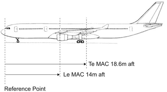 (i) lt = utc + 2 hours, (ii) lt = utc + 3 hours.
 Use route manual vfr gps chart ed 6 .flying from edpj laichingen airport ?
Question 91-9 : Magnetic course 243° distance 41 nm magnetic course 063° distance 41 nm magnetic course 063° distance 62 nm magnetic course 243° distance 62 nm
 Magnetic course 243°, distance 41 nm.
 For this question use trm vfr aberdeen dyce area chart 19 5 .what is the atis ?
Question 91-10 : 121 85 114 30 121 70 118 10
 121.85.
 Use route manual vfr gps chart ed 6 .what minimum grid area altitude is ?
Question 91-11 : 46 43 1819 ft 1120 m
 46.
46. Use trm vfr aberdeen dyce area chart 10 1v .which of the following frequencies ?
Question 91-12 : 135 17 126 25 119 87 114 30
 135.17
 Use trm vfr aberdeen dyce area chart 10 1v .what is the correct frequency to ?
Question 91-13 : 119 87 126 25 134 10 135 17
 119.87
 For this question use trm esbjerg aerodrome chart 19 2 .what are the dimensions ?
Question 91-14 : 2600m x 45m 8530m x 45m 8530ft x 45ft 2600ft x 148ft
For this question use trm vfr aberdeen dyce information page 19 6 .what is the ?
Question 91-15 : H6 h3 h3 h5
 H6.
H6. Aeronautical chart icao 1 500 000 stuttgart no 47/6 or route manual vfr+gps ?
Question 91-16 : Vor/dme ndb vor tacan
 Vor/dme.
 Aeronautical chart icao 1/500 000 stuttgart no 47/6 or route manual vfr gps ?
Question 91-17 : Munchen information 126 95 mhz munchen information 120 65 mhz frankfurt information 128 95 mhz memmingen information 122 1 mhz
 Munchen information 126.95 mhz.
 Aeronautical chart icao 1/500 000 stuttgart no 47/6 or route manual vfr+gps ?
Question 91-18 : Vor/dme ndb vor tacan
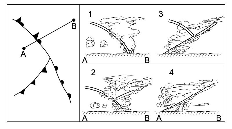 Vor/dme.
 Aeronautical chart icao 1/500 000 stuttgart no 47 6 or route manual vfr gps ?
Question 91-19 : 356° 176° 004° 185°
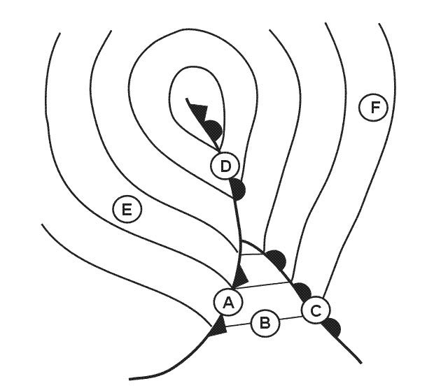 356°.
356°. Flying vfr from villingen 48°03 5'n 008°27 0'e to freudenstadt 48°28 0'n ?
Question 91-20 : 24 nm 46 nm 28 nm 24 km
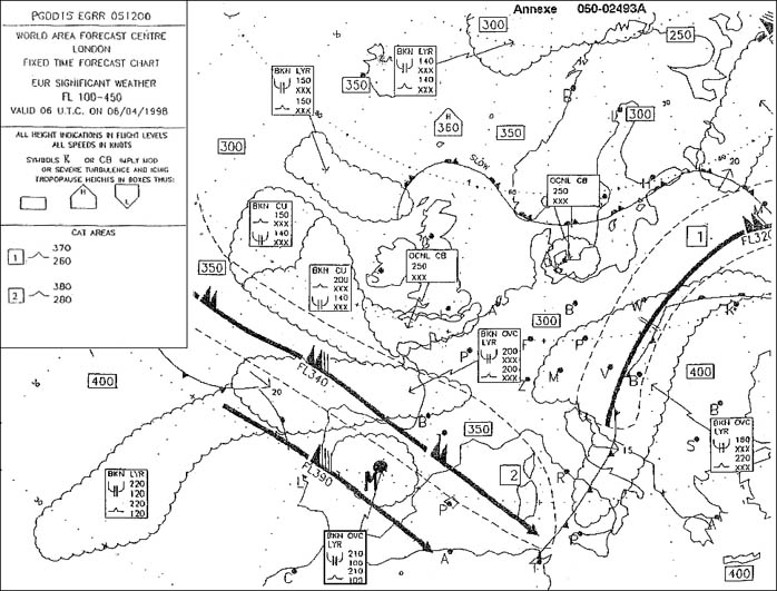 24 nm.
 What are the designated departure routes when using i rwy 34 and ii rwy 05 . ?
Question 91-21 : I h4 ii h4 i h6 ii h4 i h3 ii h3 i h5 ii h3
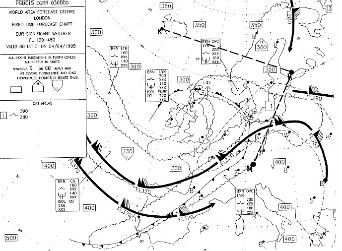 (i) h4 (ii) h4
 Which navigation aid is located in position 48°23'n 008°39'e . 2202 ?
Question 91-22 : Vor ndb vor/dme vortac
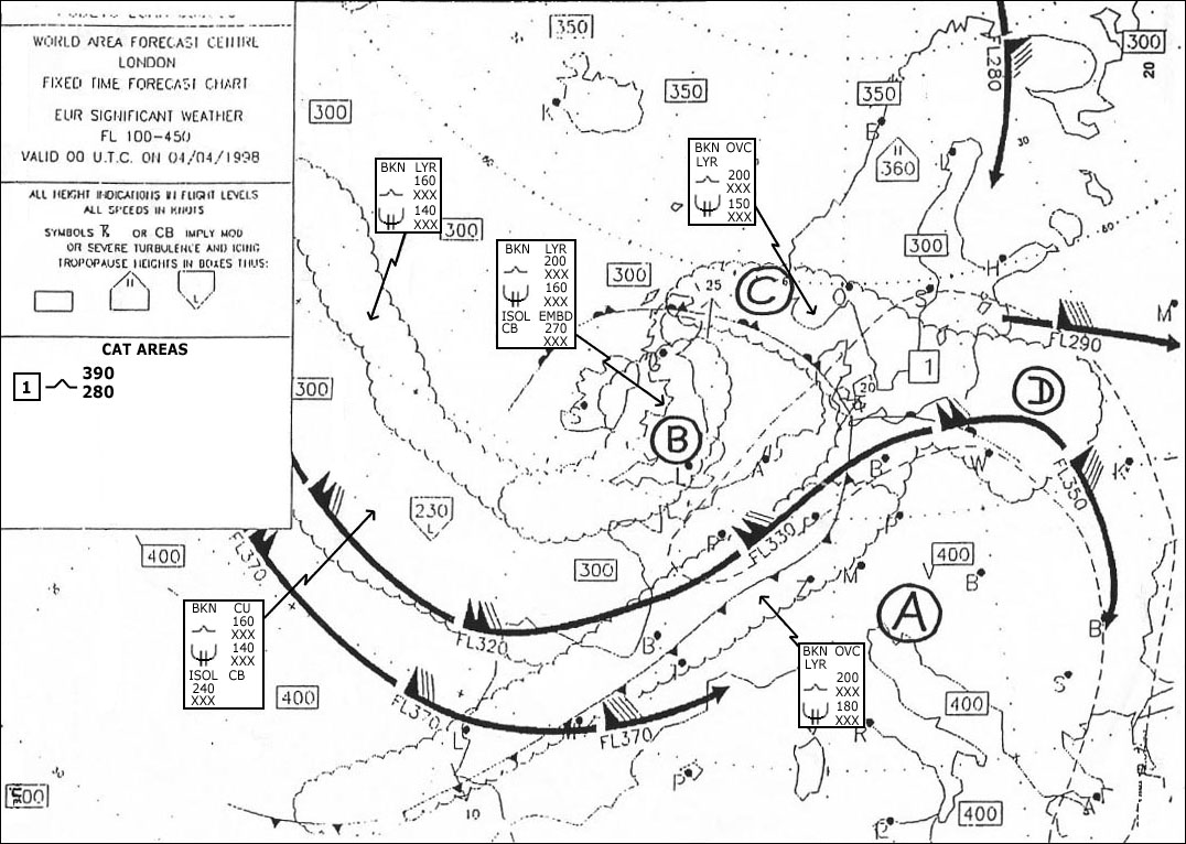 Vor.
Vor. What minimum grid area altitude is applicable for edpj laichingen airport ?
Question 91-23 : 43 grid 46 grid 2434 ft 402 m
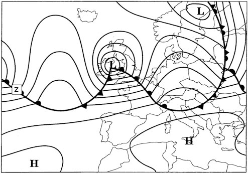 43 grid.
 For this question use trm vfr directory for netherlands 7 3 .what is the local ?
Question 91-24 : I lt 1 hour = utc ii lt 2 hours = utc i lt 2 hours = utc ii lt 1 hour = utc i lt = utc + 2 hours ii lt = utc + 1 hour i lt = utc 1 hour ii lt = utc 2 hours
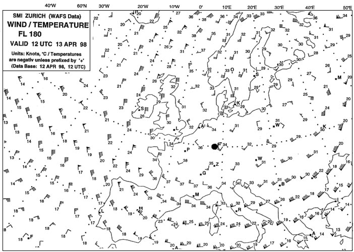 (i) lt - 1 hour = utc (ii) lt - 2 hours = utc.
 Aeronautical chart icao 1 500 000 stuttgart n°47/6 or route manual vfr+gps ?
Question 91-25 : 127 20 mhz 127 20 khz 128 52 mhz 128 52 khz
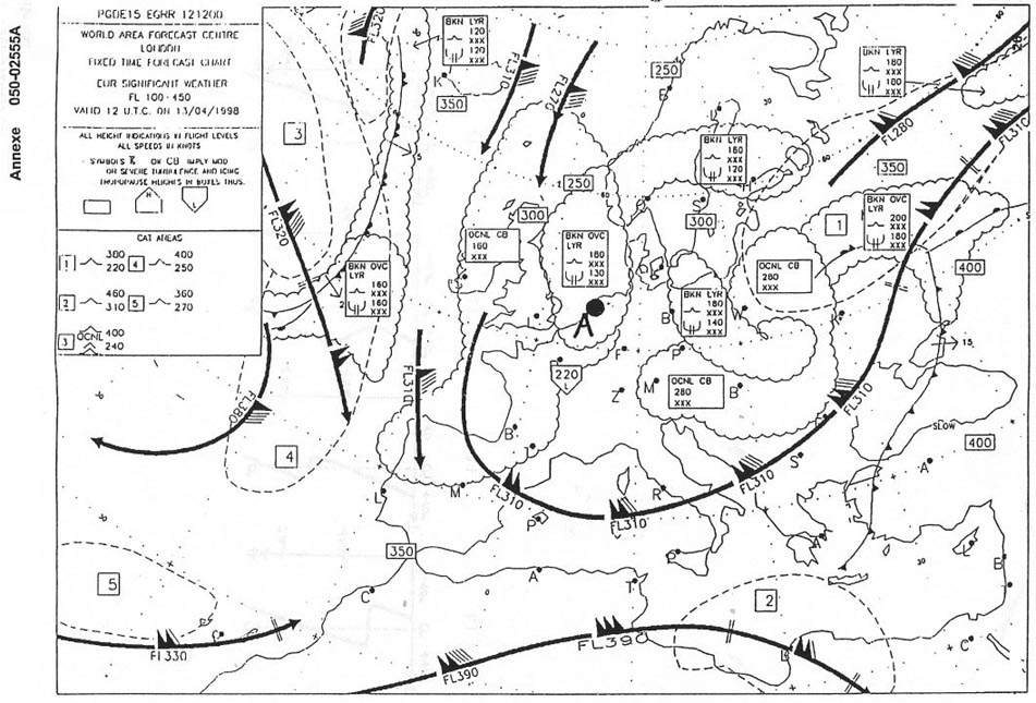 127.20 mhz.
 For this question use trm vfr aberdeen dyce area chart 10 1v .what is the ?
Question 91-26 : 1733 ft 1245 ft 2105 ft 2025 ft
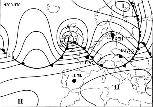 1733 ft.
 Use route manual vfr+gps chart ed 6 .flying from edtm mengen airport 48°03'n ?
Question 91-27 : Magnetic course 022° distance 28 nm magnetic course 202° distance 28 nm magnetic course 022° distance 44 nm magnetic course 202° distance 44 nm
 Magnetic course 022°, distance 28 nm
 Aeronautical chart icao 1/500 000 stuttgart no 47 6 or route manual vfr gps ?
Question 91-28 : 1416 ft 1000 m 1421 ft 1572 ft
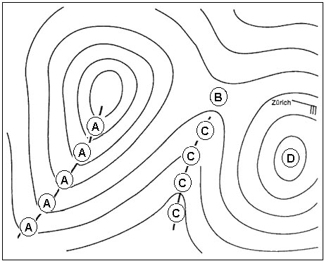 1416 ft.
 Vfr flights shall not be flown over the congested areas of cities at a height ?
Question 91-29 : 1000 ft above the highest obstacle within a radius of 600 m from the aircraft 2000 ft above the highest obstacle within a radius of 600 ft from the aircraft 500 ft above the highest obstacle the highest obstacle
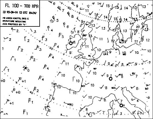 1000 ft above the highest obstacle within a radius of 600 m from the aircraft.
 For this question use trm vfr aberdeen dyce information page 19 6 .what is the ?
Question 91-30 : 2 km 3 km 4 km 5 km
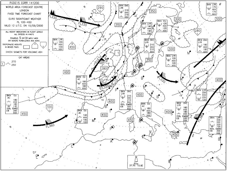 2 km.
2 km. Use route manual vfr+gps chart ed 6 .flying from edsz rottweil zepfenhan ?
Question 91-31 : Magnetic course 063° distance 41 nm magnetic course 243° distance 41 nm magnetic course 063° distance 62 nm magnetic course 243° distance 62 nm
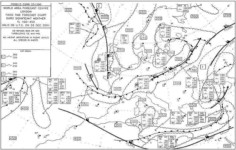 Magnetic course 063°, distance 41 nm.
 Flying from position sigmaringen 48°05'n 009°13'e to biberach airport ?
Question 91-32 : Magnetic course 086° distance 22 nm magnetic course 267° distance 22 nm magnetic course 086° distance 32 nm magnetic course 093° distance 41 nm
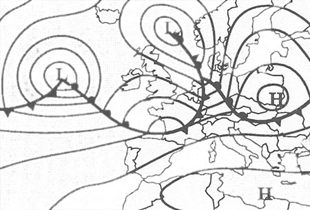 Magnetic course 086°, distance 22 nm.
 Flying from saulgau airport 48°02'n 009°31'e to altenstadt airport 47°50'n ?
Question 91-33 : Magnetic course 102° distance 56 nm magnetic course 102° distance 82 nm magnetic course 078° distance 82 nm magnetic course 282° distance 56 nm
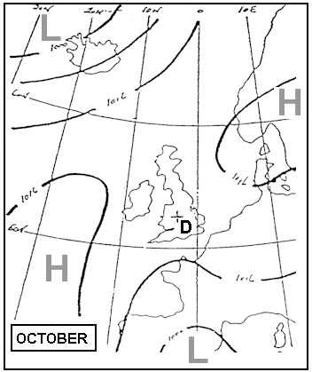 Magnetic course 102°, distance 56 nm
 Flying from edtm mengen airport 48°03'n 009°22'e to edpj laichingen airport ?
Question 91-34 : 2870 ft 2838 ft 2120 ft 2507 ft
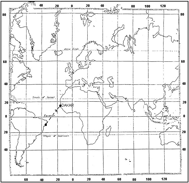 2870 ft.
 Use route manual vfr+gps chart ed 6 .flying from edsz rottweil zepfenhan ?
Question 91-35 : Magnetic course 108° distance 27 nm magnetic course 288° distance 27 nm magnetic course 108° distance 40 nm magnetic course 288° distance 40 nm
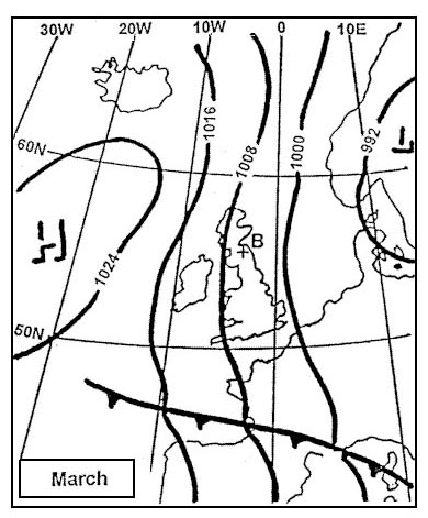 Magnetic course 108°, distance 27 nm
 What is the position of the aerodrome reference point at esbjerg . 1461 ?
Question 91-36 : N°55°31 6' e008°33 1' n°55°32 4' e008°34 9' n°55°31 6' w008°33 1' n°55°32 4' w008°34 9'
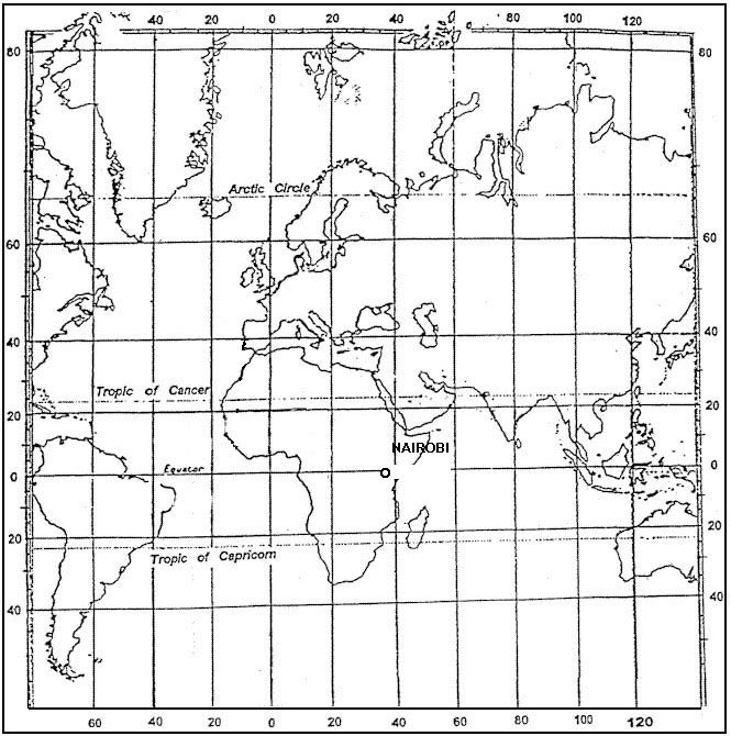 N°55°31.6' e008°33.1'.
 Use trm barcelona area chart 10 1v .the maximum altitude that may be used to ?
Question 91-37 : 2000 ft 3000 ft 4500 ft 3500 ft
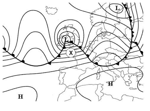 2000 ft.
 For this question use trm vfr aberdeen dyce area chart 10 1v .what is the ?
Question 91-38 : 2105 ft 1245 ft 2025 ft 1733 ft
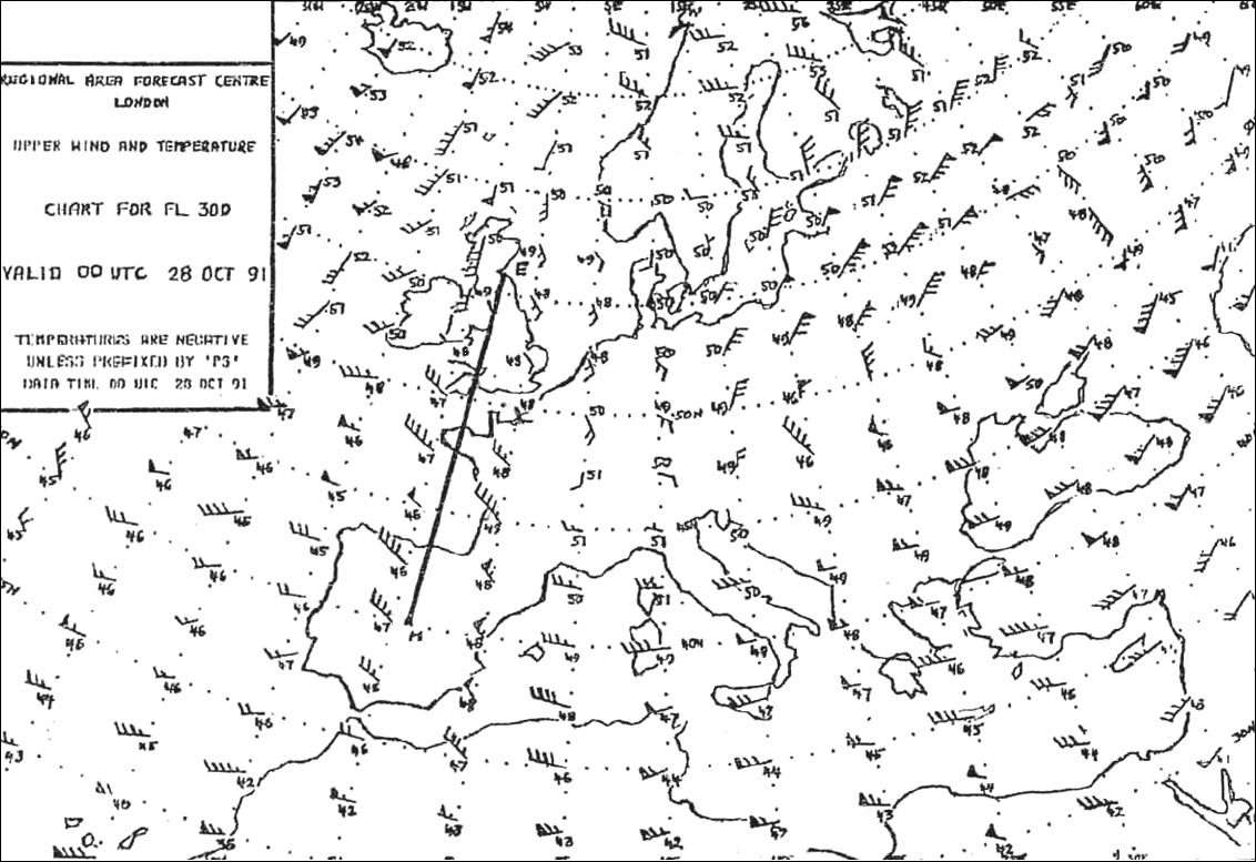 2105 ft.
 For this question use trm vfr aberdeen dyce area chart 19 5 .what atis ?
Question 91-39 : 114 30 or 121 85 mhz 121 85 mhz only 121 70 mhz only 121 70 or 121 85 mhz
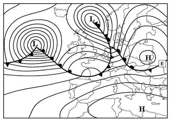 114.30 or 121.85 mhz.
 For this question use trm esbjerg area chart 19 1 .what is the track and ?
Question 91-40 : 308° m / 29 nm 308° m / 29 km 308° t / 29 nm 308° t / 29 km
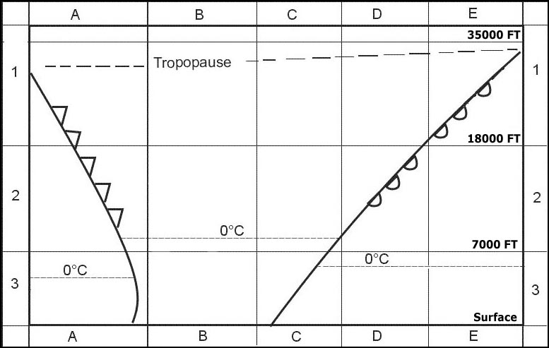 308° (m) / 29 nm.
 ~
Exclusive rights reserved. Reproduction prohibited under penalty of prosecution.
3599 Free Training Exam
